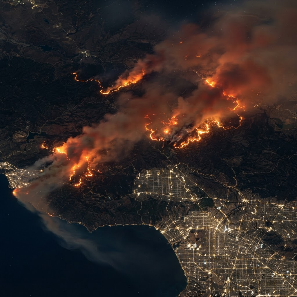
Aerial view of multiple wildfires burning at night

Live Fire Board · NASA FIRMS

Active U.S.
Wildfires

Ranked by fire radiative power — a satellite-derived measure of fire intensity. Updated every 20 minutes.

Active Fires
5
Total Acres
794,800
States Affected
3
Last Updated
2 min ago

Elevated smoke transport from California fires is affecting air quality across the Southwest and portions of the Midwest. AQI levels of 101–200+ possible downwind through Wednesday.

1

Park Fire

CA
Chico, CA · 14 mi
62% contained
Acres
429,603
FRP (MW)
3,820
Updated
2 min ago
Fire Radiative Power — 7d trend↑ Growing
2

Bridge Fire

CA
Wrightwood, CA · 3 mi
40% contained
Acres
52,100
FRP (MW)
1,890
Updated
5 min ago
Fire Radiative Power — 7d trend↑ Growing
3

Elk Fire

ID
Cascade, ID · 18 mi
20% contained
Acres
18,200
FRP (MW)
980
Updated
18 min ago
Fire Radiative Power — 7d trend↑ Growing
4

Thompson Fire

CA
Oroville, CA · 6 mi
85% contained
Acres
3,770
FRP (MW)
412
Updated
11 min ago
Fire Radiative Power — 7d trend↓ Declining
5

Durkee Fire

OR
Baker City, OR · 22 mi
75% contained
Acres
291,127
FRP (MW)
210
Updated
8 min ago
Fire Radiative Power — 7d trend↓ Declining
Data sources: Fire perimeters and radiative power from NASA FIRMS (VIIRS/MODIS). Containment and acreage from InciWeb. Smoke transport modeled via NOAA HYSPLIT. Updates every 20 minutes.